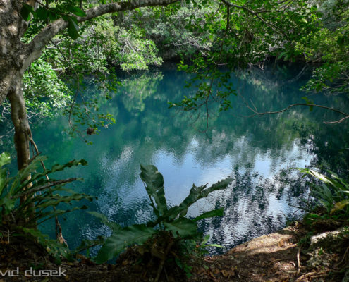
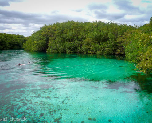
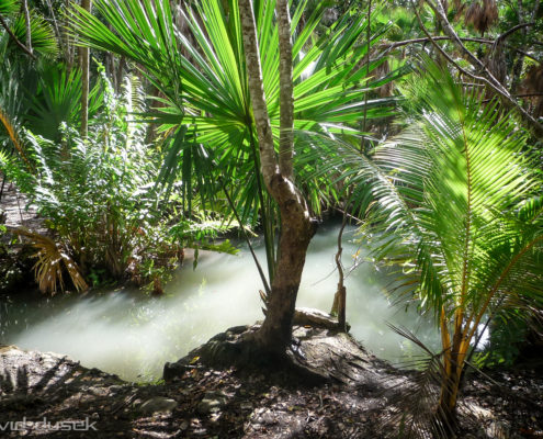
A cenote is a natural pit, or sinkhole, resulting from the collapse of limestone bedrock that exposes groundwater underneath. Especially associated with the Yucatán Peninsula of Mexico, cenotes were sometimes used by the ancient Maya for sacrificial offerings. The term derives from a word used by the low-land Yucatec Maya – ts’onot – to refer to any location with accessible groundwater. Cenotes are common geological forms in low latitude regions, particularly on islands, coastlines, and platforms with young post-Paleozoic limestones that have little soil development.
Cenotes are surface connections to subterranean water bodies. While the best-known cenotes are large open water pools measuring tens of meters in diameter, such as those at Chichén Itzá in Mexico, the greatest number of cenotes are smaller sheltered sites and do not necessarily have any surface exposed water. The term cenote has also been used to describe similar karst features in other countries such as Cuba and Australia, in addition to the more generic term of sinkholes. Cenote water is often very clear, as the water comes from rain water filtering slowly through the ground, and therefore contains very little suspended particulate matter. The groundwater flow rate within a cenote may be very slow. In many cases, cenotes are areas where sections of cave roof have collapsed revealing an underlying cave system. Cenotes around the world attract cave divers who have documented extensive flooded cave systems through them, some of which have been explored for lengths of 200 km (124 mi) or more.
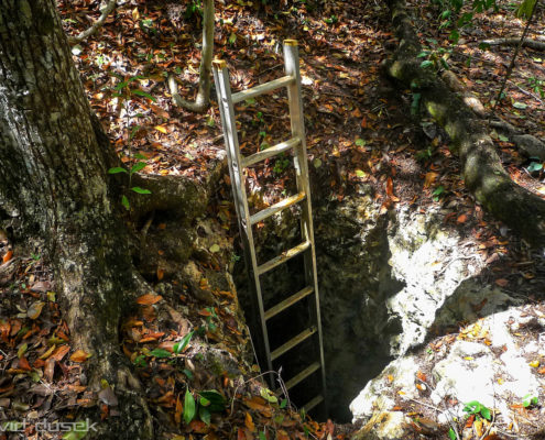
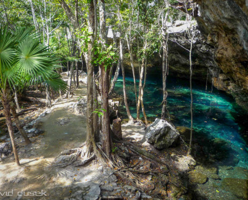
That falls into the water below is slowly removed by further dissolution, creating space for more collapse blocks. The rate of collapse increases during periods when the water table is below the ceiling of the void, since the rock ceiling is no longer buoyantly supported by the water in the void. Cenotes may be fully collapsed creating an open water pool, or partially collapsed with some portion of a rock overhanging above the water. The stereotypical cenotes often resemble small circular ponds, measuring some tens of meters in diameter with sheer drops at the edges. Most cenotes, however, require some degree of stooping or crawling to access the water.
In the north and northwest of the Yucatán Peninsula, the cenotes generally overlie vertically extensive voids penetrating 50 to 100 m (160 to 330 ft) below the modern water table. However, very few of these cenotes appear to be connected with horizontally extensive underground river systems, with water flow through them being more likely dominated by aquifer matrix and fracture flows. In contrast, the cenotes along the Caribbean coast of the Yucatán Peninsula (within the state of Quintana Roo) often provide access to extensive underwater cave systems, such as Sistema Ox Bel Ha, Sistema Sac Actun and Sistema K’oox Baal.
The Yucatán Peninsula contains a vast coastal aquifer system, which is typically density-stratified. The infiltrating meteoric water (i.e., rainwater) floats on top of higher-density saline water intruding from the coastal margins. The whole aquifer is therefore an anchialine system (one that is land-locked but connected to an ocean). Where a cenote, or the flooded cave to which it is an opening, provides deep enough access into the aquifer, the interface between the fresh and saline water may be reached. The density interface between the fresh and saline waters is a halocline, which means a sharp change in salt concentration over a small change in depth. Mixing of the fresh and saline water results in a blurry swirling effect caused by refraction between the different densities of fresh and saline waters. The depth of the halocline is a function of several factors: climate and specifically how much meteoric water recharges the aquifer, hydraulic conductivity of the host rock, distribution and connectivity of existing cave systems and how effective these are at draining water to the coast, and the distance from the coast. In general, the halocline is deeper further from the coast, and in the Yucatán Peninsula this depth is 10 to 20 m (33 to 66 ft) below the water table at the coast, and 50 to 100 m (160 to 330 ft) below the water table in the middle of the peninsula, with saline water underlying the whole of the peninsula.
The Yucatán Peninsula has almost no rivers and only a few lakes, and those are often marshy. The widely distributed cenotes are the only perennial source of potable water and have long been the principal sources of water in much of the Yucatán Peninsula. Major Maya settlements required access to adequate water supplies, and therefore cities, including the famous Chichén Itzá, were built around these natural wells. Some cenotes like the Sacred Cenote in Chichén Itzá played an important role in Maya rites. Believing that these pools were gateways to the afterlife, the Maya sometimes threw valuable items into them. The discovery of golden sacrificial artifacts in some cenotes led to the archaeological exploration of most cenotes in the first part of the 20th century. Edward Herbert Thompson, an American diplomat who had bought the Chichén Itzá site, began dredging the Sacred Cenote there in 1904. He discovered human skeletons and sacrificial objects confirming a local legend, the Cult of the Cenote, involving human sacrifice to the rain god Chaac by ritual casting of victims and objects into the cenote. The remains of this cultural heritage are protected by the UNESCO Convention on the Protection of the Underwater Cultural Heritage.


